White-on-black nameboard in Ynysboeth
Introduction
The photograph on this page of White-on-black nameboard in Ynysboeth by Jaggery as part of the Geograph project.
The Geograph project started in 2005 with the aim of publishing, organising and preserving representative images for every square kilometre of Great Britain, Ireland and the Isle of Man.

There are currently over 7.5m images from over 14,400 individuals and you can help contribute to the project by visiting https://www.geograph.org.uk
White-on-black nameboard in Ynysboeth
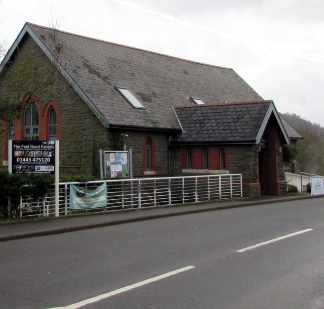
Image: © Jaggery Taken: 6 Feb 2019
Viewed across the B4275 Abercynon Road. In February 2019 the nameboard shows The Feel Good Factory and Taffy's Cafe/Catering. This building used to be All Saints Parish Church, built in 1903 to serve the two communities of Matthewstown (the present-day Tyntetown) and Ynysboeth.
Images are licensed for reuse under creativecommons.org/licenses/by-sa/2.0
Image Location
Latitude
51.660722
Longitude
-3.346656