Former All Saints Church in Ynysboeth
Introduction
The photograph on this page of Former All Saints Church in Ynysboeth by Jaggery as part of the Geograph project.
The Geograph project started in 2005 with the aim of publishing, organising and preserving representative images for every square kilometre of Great Britain, Ireland and the Isle of Man.

There are currently over 7.5m images from over 14,400 individuals and you can help contribute to the project by visiting https://www.geograph.org.uk
Former All Saints Church in Ynysboeth
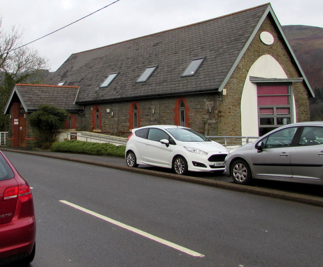
Image: © Jaggery Taken: 6 Feb 2019
Alongside the B4275 Abercynon Road. Coflein records that this building was All Saints Parish Church which was built in 1903 to serve the two communities of Matthewstown (the present-day Tyntetown) and Ynysboeth. In February 2019 the two names at the entrance https://www.geograph.org.uk/photo/6055248 are The Feel Good Factory and Taffy's Cafe/Catering.
Images are licensed for reuse under creativecommons.org/licenses/by-sa/2.0
Image Location
Latitude
51.660634
Longitude
-3.346509