Loudwater: Troutstream Way
Introduction
The photograph on this page of Loudwater: Troutstream Way by Nigel Cox as part of the Geograph project.
The Geograph project started in 2005 with the aim of publishing, organising and preserving representative images for every square kilometre of Great Britain, Ireland and the Isle of Man.

There are currently over 7.5m images from over 14,400 individuals and you can help contribute to the project by visiting https://www.geograph.org.uk
Loudwater: Troutstream Way
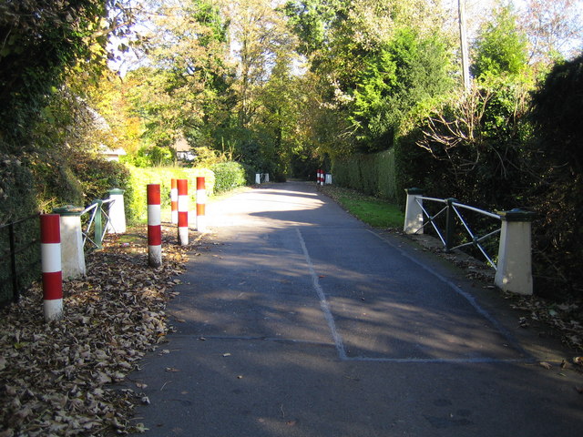
Image: © Nigel Cox Taken: 2 Nov 2007
The red and white posts are in place to protect two bridges that carry Troutstream Way over two braids of the River Chess.
Images are licensed for reuse under creativecommons.org/licenses/by-sa/2.0
Image Location
Latitude
51.655729
Longitude
-0.486424