Arable field at Highthorn
Introduction
The photograph on this page of Arable field at Highthorn by Graham Robson as part of the Geograph project.
The Geograph project started in 2005 with the aim of publishing, organising and preserving representative images for every square kilometre of Great Britain, Ireland and the Isle of Man.

There are currently over 7.5m images from over 14,400 individuals and you can help contribute to the project by visiting https://www.geograph.org.uk
Arable field at Highthorn
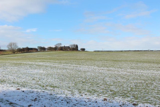
Image: © Graham Robson Taken: 2 Feb 2019
Looking across an arable field covered in a dusting of snow. The roof of the house at Highthorn is visible in the distance.
Images are licensed for reuse under creativecommons.org/licenses/by-sa/2.0
Image Location
Latitude
55.232451
Longitude
-1.575127