Footpath from Slippy Lane to Jumples, Mixenden
Introduction
The photograph on this page of Footpath from Slippy Lane to Jumples, Mixenden by Humphrey Bolton as part of the Geograph project.
The Geograph project started in 2005 with the aim of publishing, organising and preserving representative images for every square kilometre of Great Britain, Ireland and the Isle of Man.

There are currently over 7.5m images from over 14,400 individuals and you can help contribute to the project by visiting https://www.geograph.org.uk
Footpath from Slippy Lane to Jumples, Mixenden
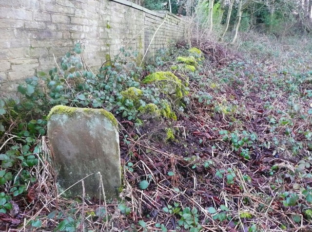
Image: © Humphrey Bolton Taken: 7 Feb 2019
The thin slab of stone with rounded corners must I think have been part of a stile. I don't know which side of the old broken wall the path should be on; either way much cutting of brambles is needed.
Images are licensed for reuse under creativecommons.org/licenses/by-sa/2.0
Image Location


Leaflet Map data © OpenStreetMap
Latitude
53.748692
Longitude
-1.90261