Coxhoe Beck
Introduction
The photograph on this page of Coxhoe Beck by David Robinson as part of the Geograph project.
The Geograph project started in 2005 with the aim of publishing, organising and preserving representative images for every square kilometre of Great Britain, Ireland and the Isle of Man.

There are currently over 7.5m images from over 14,400 individuals and you can help contribute to the project by visiting https://www.geograph.org.uk
Coxhoe Beck
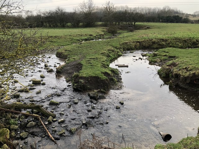
Image: © David Robinson Taken: 21 Jan 2019
A 180 degree meander of Coxhoe Beck in fields to the South of the village.
Images are licensed for reuse under creativecommons.org/licenses/by-sa/2.0
Image Location
Latitude
54.707906
Longitude
-1.500232