The Carrs SSSI
Introduction
The photograph on this page of The Carrs SSSI by David Robinson as part of the Geograph project.
The Geograph project started in 2005 with the aim of publishing, organising and preserving representative images for every square kilometre of Great Britain, Ireland and the Isle of Man.

There are currently over 7.5m images from over 14,400 individuals and you can help contribute to the project by visiting https://www.geograph.org.uk
The Carrs SSSI
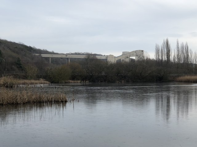
Image: © David Robinson Taken: 21 Jan 2019
The Carrs SSSI and the adjoining Ferryhill Carrs Local Nature Reserve lie in a channel carved by glacial meltwater through magnesian limestone. Much of the low lying parts of the reserve are covered by water while the limestone slopes are covered by woodland and grassland. The apparatus seen in the background is the railhead loading facility for Thrislington Quarry.
Images are licensed for reuse under creativecommons.org/licenses/by-sa/2.0
Image Location
Latitude
54.688179
Longitude
-1.533826