Leatherhead Bridge
Introduction
The photograph on this page of Leatherhead Bridge by Robin Webster as part of the Geograph project.
The Geograph project started in 2005 with the aim of publishing, organising and preserving representative images for every square kilometre of Great Britain, Ireland and the Isle of Man.

There are currently over 7.5m images from over 14,400 individuals and you can help contribute to the project by visiting https://www.geograph.org.uk
Leatherhead Bridge
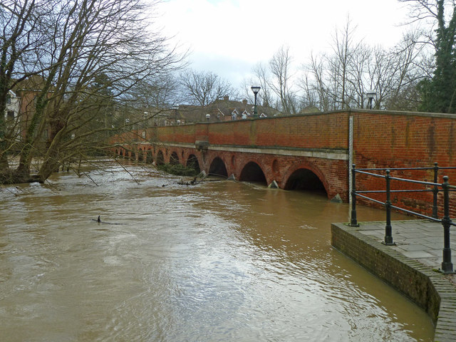
Image: © Robin Webster Taken: 15 Feb 2014
The River Mole is much higher than usual and the waterside paths are flooded. The fourteen arch bridge is a grade II listed building, dated 1784, thought to be a rebuild of an earlier bridge.
Images are licensed for reuse under creativecommons.org/licenses/by-sa/2.0
Image Location
Latitude
51.293781
Longitude
-0.333271