Track to Lathwells Farm
Introduction
The photograph on this page of Track to Lathwells Farm by Rob Farrow as part of the Geograph project.
The Geograph project started in 2005 with the aim of publishing, organising and preserving representative images for every square kilometre of Great Britain, Ireland and the Isle of Man.

There are currently over 7.5m images from over 14,400 individuals and you can help contribute to the project by visiting https://www.geograph.org.uk
Track to Lathwells Farm
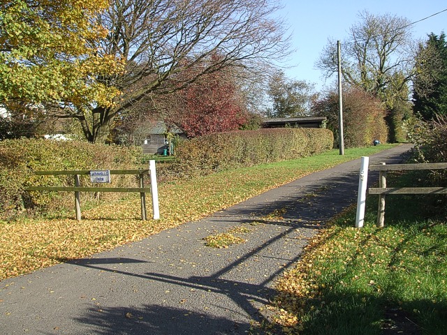
Image: © Rob Farrow Taken: 6 Nov 2007
This track is to the south of the village of Granborough and leads to Lathwells Farm as the little sign indicates. This track is next to Image]
Images are licensed for reuse under creativecommons.org/licenses/by-sa/2.0
Image Location
Latitude
51.915706
Longitude
-0.883065