Junction of Halswell Street and the B4275, Tyntetown
Introduction
The photograph on this page of Junction of Halswell Street and the B4275, Tyntetown by Jaggery as part of the Geograph project.
The Geograph project started in 2005 with the aim of publishing, organising and preserving representative images for every square kilometre of Great Britain, Ireland and the Isle of Man.

There are currently over 7.5m images from over 14,400 individuals and you can help contribute to the project by visiting https://www.geograph.org.uk
Junction of Halswell Street and the B4275, Tyntetown
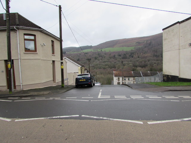
Image: © Jaggery Taken: 6 Feb 2019
Out of shot ahead, Halswell Street descends steeply northwards from the B4275 Main Road to Bagot Street in the valley of the River Cynon.
Images are licensed for reuse under creativecommons.org/licenses/by-sa/2.0
Image Location
Latitude
51.661403
Longitude
-3.350002