Row of houses, Main Road, Tyntetown
Introduction
The photograph on this page of Row of houses, Main Road, Tyntetown by Jaggery as part of the Geograph project.
The Geograph project started in 2005 with the aim of publishing, organising and preserving representative images for every square kilometre of Great Britain, Ireland and the Isle of Man.

There are currently over 7.5m images from over 14,400 individuals and you can help contribute to the project by visiting https://www.geograph.org.uk
Row of houses, Main Road, Tyntetown
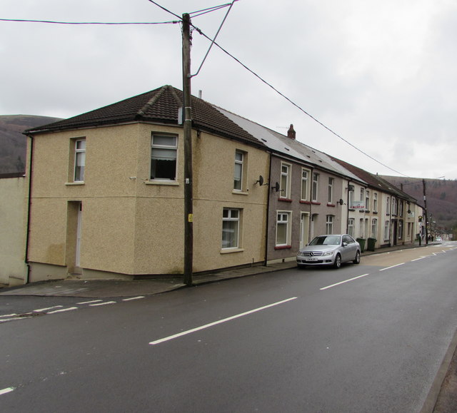
Image: © Jaggery Taken: 6 Feb 2019
Extending for 45 metres along the north side of the B4275 Main Road from Milbourne Street to Halswell Street. The two street names are a reference to Halswell Milbourne Kemeys-Tynte who owned the estate on which the village was built.
Images are licensed for reuse under creativecommons.org/licenses/by-sa/2.0
Image Location
Latitude
51.661401
Longitude
-3.350146