Along the dale side from High Lane
Introduction
The photograph on this page of Along the dale side from High Lane by Gordon Hatton as part of the Geograph project.
The Geograph project started in 2005 with the aim of publishing, organising and preserving representative images for every square kilometre of Great Britain, Ireland and the Isle of Man.

There are currently over 7.5m images from over 14,400 individuals and you can help contribute to the project by visiting https://www.geograph.org.uk
Along the dale side from High Lane
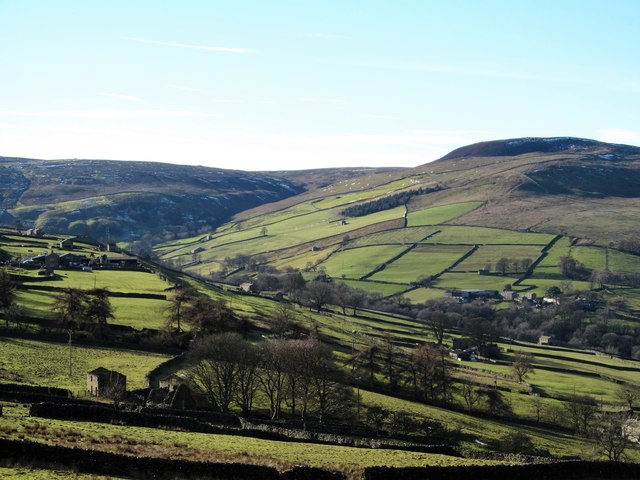
Image: © Gordon Hatton Taken: 4 Feb 2019
This area is known as Whitaside where there are several farms and dwellings at a point where Swaledale opens out towards Crackpot Side. Most settlements are on the opposite, south facing slopes of the dale where maximum light is available, but here there's enough good ground and with fells further back to make farming worthwhile.
Images are licensed for reuse under creativecommons.org/licenses/by-sa/2.0
Image Location
Latitude
54.370579
Longitude
-2.021361