River Stort Navigation, Bishop's Stortford
Introduction
The photograph on this page of River Stort Navigation, Bishop's Stortford by Robin Webster as part of the Geograph project.
The Geograph project started in 2005 with the aim of publishing, organising and preserving representative images for every square kilometre of Great Britain, Ireland and the Isle of Man.

There are currently over 7.5m images from over 14,400 individuals and you can help contribute to the project by visiting https://www.geograph.org.uk
River Stort Navigation, Bishop's Stortford
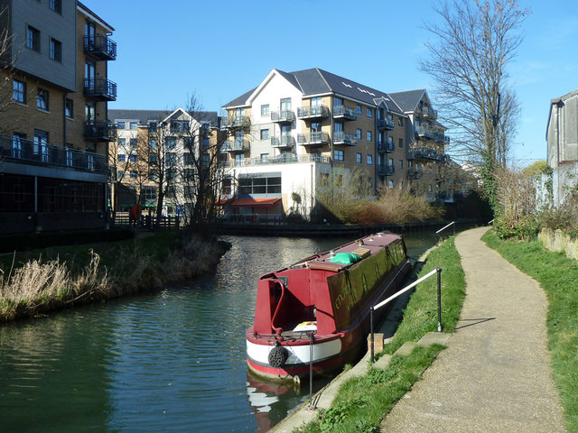
Image: © Robin Webster Taken: 16 Mar 2014
The last chance to wind at the junction with the former continuation on the left to a terminal basin which is now built over. Navigation continues along the Hockerill Cut up to Hockerill Bridge (unnavigable) for somewhat more than 100 m around to the right.
Images are licensed for reuse under creativecommons.org/licenses/by-sa/2.0
Image Location
Latitude
51.868857
Longitude
0.162456