Gartenkeir Trigpoint
Introduction
The photograph on this page of Gartenkeir Trigpoint by Richard Webb as part of the Geograph project.
The Geograph project started in 2005 with the aim of publishing, organising and preserving representative images for every square kilometre of Great Britain, Ireland and the Isle of Man.

There are currently over 7.5m images from over 14,400 individuals and you can help contribute to the project by visiting https://www.geograph.org.uk
Gartenkeir Trigpoint
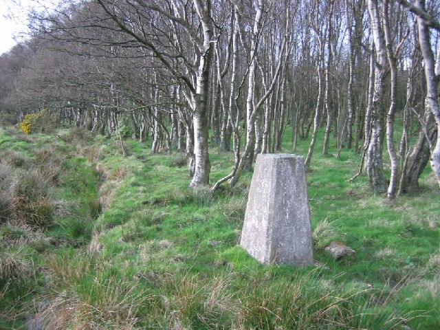
Image: © Richard Webb Taken: 7 Apr 2005
This square is a mix of rough grazing and woodland, prime shooting country. The trigpoint is on the edge of a marshy birchwood.
Images are licensed for reuse under creativecommons.org/licenses/by-sa/2.0
Image Location


Leaflet Map data © OpenStreetMap
Latitude
56.135426
Longitude
-3.708964