Moorfield House, Omagh
Introduction
The photograph on this page of Moorfield House, Omagh by Kenneth Allen as part of the Geograph project.
The Geograph project started in 2005 with the aim of publishing, organising and preserving representative images for every square kilometre of Great Britain, Ireland and the Isle of Man.

There are currently over 7.5m images from over 14,400 individuals and you can help contribute to the project by visiting https://www.geograph.org.uk
Moorfield House, Omagh
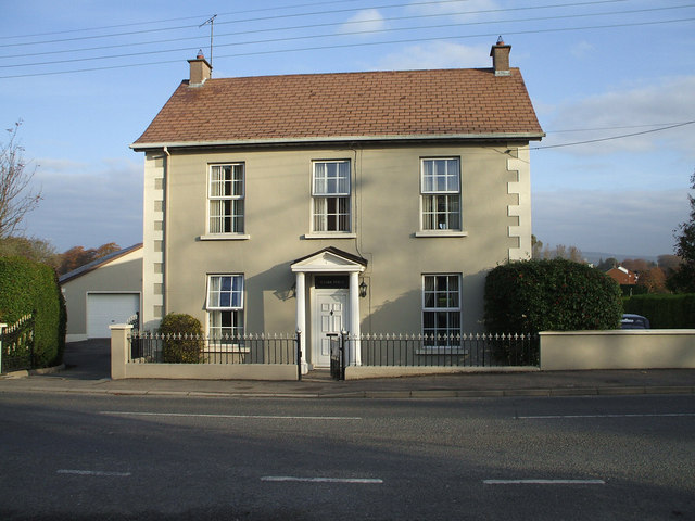
Image: © Kenneth Allen Taken: 6 Nov 2007
The house is located on the Derry Road, opposite Harmony Heights. It was stated in "Poetry in Stone" that there was somewhere about the Derry Road that the RC Church was located between 1796 and 1820. I have not completely established if it actually was at this location, or it possibly it referred to a site nearer Brook Street. In any case the former church was a small building, 54 feet x 26 feet. It has this name, because the Chapel being occupied on this site, replaced a house there occupied by a Mr James Moore
Images are licensed for reuse under creativecommons.org/licenses/by-sa/2.0
Image Location


Leaflet Map data © OpenStreetMap
Latitude
54.594296
Longitude
-7.31232