Clywedog Trail in Nant Woods
Introduction
The photograph on this page of Clywedog Trail in Nant Woods by Eirian Evans as part of the Geograph project.
The Geograph project started in 2005 with the aim of publishing, organising and preserving representative images for every square kilometre of Great Britain, Ireland and the Isle of Man.

There are currently over 7.5m images from over 14,400 individuals and you can help contribute to the project by visiting https://www.geograph.org.uk
Clywedog Trail in Nant Woods
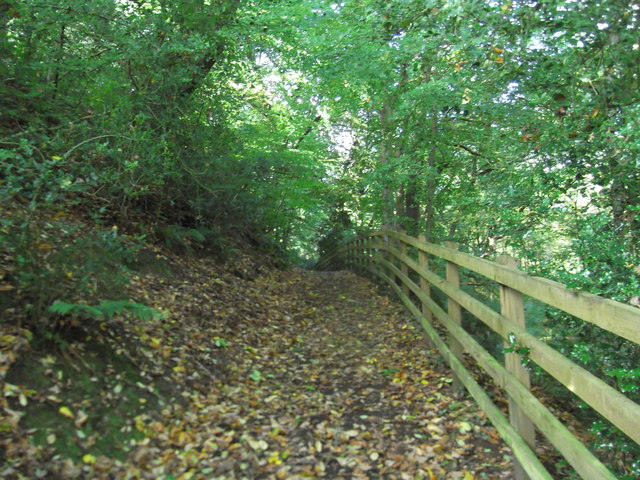
Image: © Eirian Evans Taken: 5 Oct 2017
The Clywedog Valley Trail runs from Minera Lead Mines located around 5 miles to the west of Wrexham and finishes at King’s Mill approximately 1 mile to the south-east of the town centre. It is an easy to follow waymarked path along the river helping you to enjoy the natural beauty of this peaceful valley and uncover its rich history. The Clywedog Trail is approximately 5.5 miles from start to finish and can also be enjoyed in shorter sections.
Images are licensed for reuse under creativecommons.org/licenses/by-sa/2.0
Image Location
Latitude
53.044896
Longitude
-3.067952