Nant Bridge through the woods
Introduction
The photograph on this page of Nant Bridge through the woods by Eirian Evans as part of the Geograph project.
The Geograph project started in 2005 with the aim of publishing, organising and preserving representative images for every square kilometre of Great Britain, Ireland and the Isle of Man.

There are currently over 7.5m images from over 14,400 individuals and you can help contribute to the project by visiting https://www.geograph.org.uk
Nant Bridge through the woods
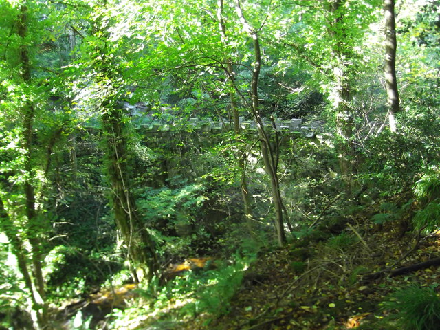
Image: © Eirian Evans Taken: 5 Oct 2017
The crenellated top of the bridge. Probably built about 1860 as part of the landscaping of Ploas Power Park, the bridge is Grade II listed.
Images are licensed for reuse under creativecommons.org/licenses/by-sa/2.0
Image Location


Leaflet Map data © OpenStreetMap
Latitude
53.042548
Longitude
-3.059094