Old Direction Sign - Signpost by Station Road, Bridestowe parish
Introduction
The photograph on this page of Old Direction Sign - Signpost by Station Road, Bridestowe parish by Tim Jenkinson as part of the Geograph project.
The Geograph project started in 2005 with the aim of publishing, organising and preserving representative images for every square kilometre of Great Britain, Ireland and the Isle of Man.

There are currently over 7.5m images from over 14,400 individuals and you can help contribute to the project by visiting https://www.geograph.org.uk
Old Direction Sign - Signpost by Station Road, Bridestowe parish
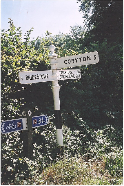
Image: © Tim Jenkinson Taken: 9 Oct 2009
Ball finial - 3 arms; Devon ball by the UC road, in parish of Bridestowe (West Devon District), Station Road, junction South of Ashleigh Farm, by National Cycle Route sign, on verge opposite post box. Surveyed Milestone Society National ID: DV_SX5188
Images are licensed for reuse under creativecommons.org/licenses/by-sa/2.0
Image Location
Latitude
50.673222
Longitude
-4.103803