Old Boundary Marker by the A641, Bradford Road, Huddersfield parish
Introduction
The photograph on this page of Old Boundary Marker by the A641, Bradford Road, Huddersfield parish by Milestone Society as part of the Geograph project.
The Geograph project started in 2005 with the aim of publishing, organising and preserving representative images for every square kilometre of Great Britain, Ireland and the Isle of Man.

There are currently over 7.5m images from over 14,400 individuals and you can help contribute to the project by visiting https://www.geograph.org.uk
Old Boundary Marker by the A641, Bradford Road, Huddersfield parish
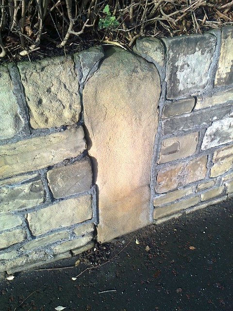
Image: © Milestone Society Taken: Unknown
Parish Boundary Marker by the A641, in parish of Huddersfield (Kirklees District), Bradford Road, in wall just North of junction with Halifax Old Road and opposite Croft Cottage Lane. Surveyed Milestone Society National ID: YW_HIB03pb
Images are licensed for reuse under creativecommons.org/licenses/by-sa/2.0
Image Location
Latitude
53.656558
Longitude
-1.782077