Old Bridge Marker by the former B3176, In Clyst Hydon
Introduction
The photograph on this page of Old Bridge Marker by the former B3176, In Clyst Hydon by Milestone Society as part of the Geograph project.
The Geograph project started in 2005 with the aim of publishing, organising and preserving representative images for every square kilometre of Great Britain, Ireland and the Isle of Man.

There are currently over 7.5m images from over 14,400 individuals and you can help contribute to the project by visiting https://www.geograph.org.uk
Old Bridge Marker by the former B3176, In Clyst Hydon
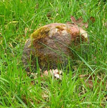
Image: © Milestone Society Taken: Unknown
Bridge Marker by the UC road (was B3176), in parish of Clyst Hydon (East Devon District), in village, 80m West of bridge, on grass verge, by post box in wall. Surveyed Milestone Society National ID: DV_HNCMbr
Images are licensed for reuse under creativecommons.org/licenses/by-sa/2.0
Image Location


Leaflet Map data © OpenStreetMap
Latitude
50.805851
Longitude
-3.370474