Old Milestone by London Road, Dunkirk
Introduction
The photograph on this page of Old Milestone by London Road, Dunkirk by C Woodward as part of the Geograph project.
The Geograph project started in 2005 with the aim of publishing, organising and preserving representative images for every square kilometre of Great Britain, Ireland and the Isle of Man.

There are currently over 7.5m images from over 14,400 individuals and you can help contribute to the project by visiting https://www.geograph.org.uk
Old Milestone by London Road, Dunkirk
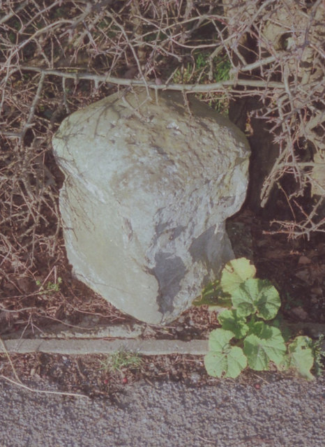
Image: © C Woodward Taken: 23 Feb 2009
Stone post (plates lost) by the UC road (was A2), in parish of DUNKIRK (SWALE District), London Road, West of link road to A2, East of Prospect House, in hedge behind path, on North side of road. Dover Road facet, erected by the Chatham & Canterbury turnpike trust in the 19th century. Inscription once read:- : (Canterbury / 4) : : (London / 51) : Kent HER. HER Number: TR 05 NE 161 https://www.heritagegateway.org.uk/Gateway/Results_Single.aspx?uid=MKE77992&resourceID=1005 Milestone Society National ID: KE_LD51.
Images are licensed for reuse under creativecommons.org/licenses/by-sa/2.0
Image Location
Latitude
51.291531
Longitude
0.980594