Old Milestone by the A82, near the Fire Station, Kilmallie parish
Introduction
The photograph on this page of Old Milestone by the A82, near the Fire Station, Kilmallie parish by Milestone Society as part of the Geograph project.
The Geograph project started in 2005 with the aim of publishing, organising and preserving representative images for every square kilometre of Great Britain, Ireland and the Isle of Man.

There are currently over 7.5m images from over 14,400 individuals and you can help contribute to the project by visiting https://www.geograph.org.uk
Old Milestone by the A82, near the Fire Station, Kilmallie parish
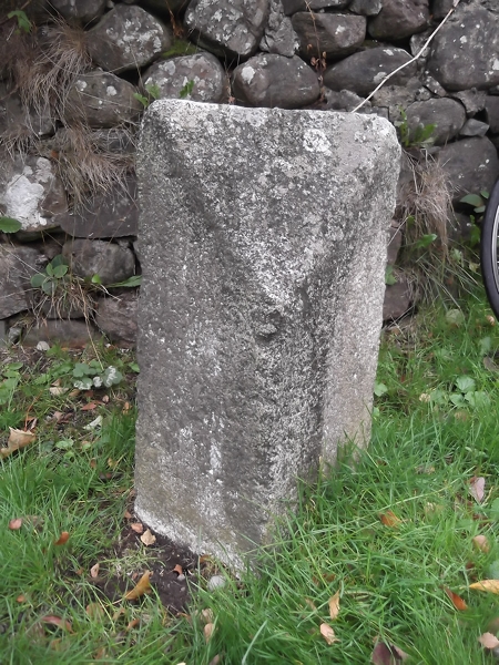
Image: © Milestone Society Taken: Unknown
Highland granite by the A82, in parish of Kilmallie (Lochaber District), nearly opposite the Fort Augustus sign, just South of the Fire Station. Surveyed Milestone Society National ID: HI_FWFA31
Images are licensed for reuse under creativecommons.org/licenses/by-sa/2.0
Image Location
Latitude
57.135649
Longitude
-4.688875