Old Milestone by the A836, Thurso East, Thurso parish
Introduction
The photograph on this page of Old Milestone by the A836, Thurso East, Thurso parish by Milestone Society as part of the Geograph project.
The Geograph project started in 2005 with the aim of publishing, organising and preserving representative images for every square kilometre of Great Britain, Ireland and the Isle of Man.

There are currently over 7.5m images from over 14,400 individuals and you can help contribute to the project by visiting https://www.geograph.org.uk
Old Milestone by the A836, Thurso East, Thurso parish
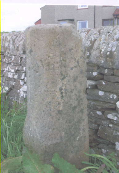
Image: © Milestone Society Taken: Unknown
Stone post by the A836, in parish of Thurso (Caithness District), Thurso East, by wall dividing the A836 from Harald Drive. Inscription reads:- : Thurso / 1 : : Wick / 20 : Surveyed Milestone Society National ID: HI_THWK01N
Images are licensed for reuse under creativecommons.org/licenses/by-sa/2.0
Image Location
Latitude
58.595341
Longitude
-3.508502