Old Wayside Cross by Totnes Down Hill, Totnes
Introduction
The photograph on this page of Old Wayside Cross by Totnes Down Hill, Totnes by Alan Rosevear as part of the Geograph project.
The Geograph project started in 2005 with the aim of publishing, organising and preserving representative images for every square kilometre of Great Britain, Ireland and the Isle of Man.

There are currently over 7.5m images from over 14,400 individuals and you can help contribute to the project by visiting https://www.geograph.org.uk
Old Wayside Cross by Totnes Down Hill, Totnes
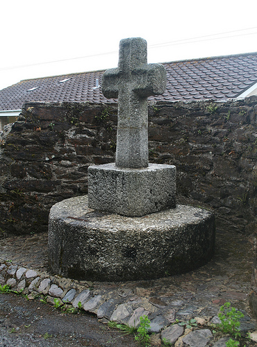
Image: © Alan Rosevear Taken: 15 Jul 2010
Cherry Cross, old head and base in a new cross, by the UC road, in parish of Totnes (South Hams District), bottom of Totnes Down Hill, near junction with Moat Hill, in stone wall recess, in front of bungalows. Surveyed Milestone Society National ID: DVSH_TOT01
Images are licensed for reuse under creativecommons.org/licenses/by-sa/2.0
Image Location
Latitude
50.427086
Longitude
-3.684888