Old Boundary Marker by the A354, New Road, Portland parish
Introduction
The photograph on this page of Old Boundary Marker by the A354, New Road, Portland parish by Milestone Society as part of the Geograph project.
The Geograph project started in 2005 with the aim of publishing, organising and preserving representative images for every square kilometre of Great Britain, Ireland and the Isle of Man.

There are currently over 7.5m images from over 14,400 individuals and you can help contribute to the project by visiting https://www.geograph.org.uk
Old Boundary Marker by the A354, New Road, Portland parish
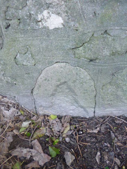
Image: © Milestone Society Taken: Unknown
Estate Boundary Marker - War Department by the A354, in parish of Portland (Weymouth and Portland District), New Road, 10m South of junction with Old Hill, inset in wall. Grade II listed. List Entry Number: 1281866 https://historicengland.org.uk/listing/the-list/list-entry/1281866 Surveyed Milestone Society National ID: DO_WDPOR31em
Images are licensed for reuse under creativecommons.org/licenses/by-sa/2.0
Image Location
Latitude
50.557974
Longitude
-2.440146