Old Milestone by the A3052, High Street, Sidmouth
Introduction
The photograph on this page of Old Milestone by the A3052, High Street, Sidmouth by Alan Rosevear as part of the Geograph project.
The Geograph project started in 2005 with the aim of publishing, organising and preserving representative images for every square kilometre of Great Britain, Ireland and the Isle of Man.

There are currently over 7.5m images from over 14,400 individuals and you can help contribute to the project by visiting https://www.geograph.org.uk
Old Milestone by the A3052, High Street, Sidmouth
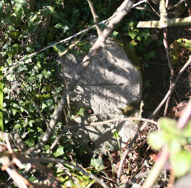
Image: © Alan Rosevear Taken: 7 Apr 2011
Stone post (plate lost) by the A3052, in parish of SIDMOUTH (EAST DEVON District), High Street, 100m West of Core Hill Road and Waitrose supermarket entrance road (Stowford Rise), set well back in double hedge, among brambles, on North side of road. Lyme iron plate, erected by the Lyme Regis (Charmouth to Wimple) turnpike trust in the 19th century. Inscription reads:- LYME 15 EXETER 13 Carved benchmark and rivet on top. Devon & Dartmoor HER. HER Number: MDV76435 https://www.heritagegateway.org.uk/Gateway/Results_Single.aspx?uid=MDV76435&resourceID=104 Milestone Society National ID: DV_EXLR13.
Images are licensed for reuse under creativecommons.org/licenses/by-sa/2.0
Image Location
Latitude
50.700432
Longitude
-3.247345