Brunswick Street, Reading
Introduction
The photograph on this page of Brunswick Street, Reading by Andrew Smith as part of the Geograph project.
The Geograph project started in 2005 with the aim of publishing, organising and preserving representative images for every square kilometre of Great Britain, Ireland and the Isle of Man.

There are currently over 7.5m images from over 14,400 individuals and you can help contribute to the project by visiting https://www.geograph.org.uk
Brunswick Street, Reading
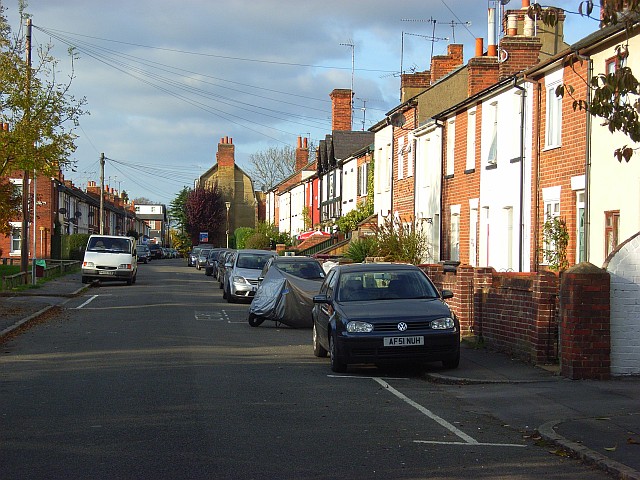
Image: © Andrew Smith Taken: 2 Nov 2007
The mock-tudor building half way along this terrace is a pub, the Forester's Arms. The gable end beyond that is that of a former 17th century silk mill built by Huguenot refugees from the German city of Brunswick (Braunschweig), hence the street's name. The building has since served as pub (the Brunswick Arms) and has now been converted into houses.
Images are licensed for reuse under creativecommons.org/licenses/by-sa/2.0
Image Location
Latitude
51.449831
Longitude
-0.989736