Public footpath, Shottesbrooke
Introduction
The photograph on this page of Public footpath, Shottesbrooke by Andrew Smith as part of the Geograph project.
The Geograph project started in 2005 with the aim of publishing, organising and preserving representative images for every square kilometre of Great Britain, Ireland and the Isle of Man.

There are currently over 7.5m images from over 14,400 individuals and you can help contribute to the project by visiting https://www.geograph.org.uk
Public footpath, Shottesbrooke
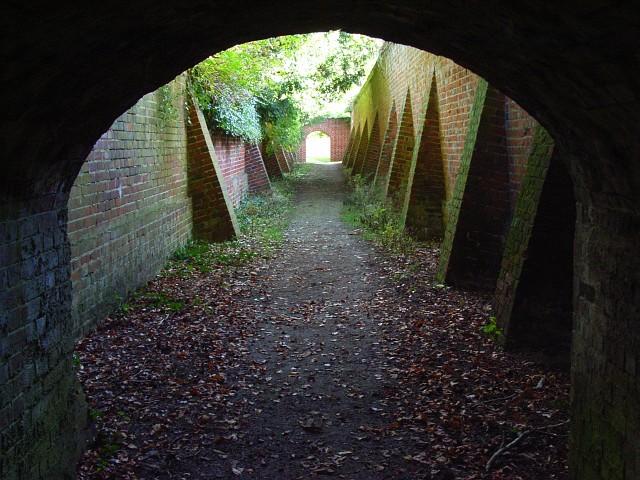
Image: © Andrew Smith Taken: 2 Nov 2007
The footpath from Waltham St Lawrence, which, having passed through a short tunnel, six feet high, proceeds between the walled gardens of Shottesbrooke Park. The archway ahead leads into the churchyard.
Images are licensed for reuse under creativecommons.org/licenses/by-sa/2.0
Image Location
Latitude
51.485723
Longitude
-0.791633