Old Boundary Marker by Chyandour Cliff, Penzance parish
Introduction
The photograph on this page of Old Boundary Marker by Chyandour Cliff, Penzance parish by Milestone Society as part of the Geograph project.
The Geograph project started in 2005 with the aim of publishing, organising and preserving representative images for every square kilometre of Great Britain, Ireland and the Isle of Man.

There are currently over 7.5m images from over 14,400 individuals and you can help contribute to the project by visiting https://www.geograph.org.uk
Old Boundary Marker by Chyandour Cliff, Penzance parish
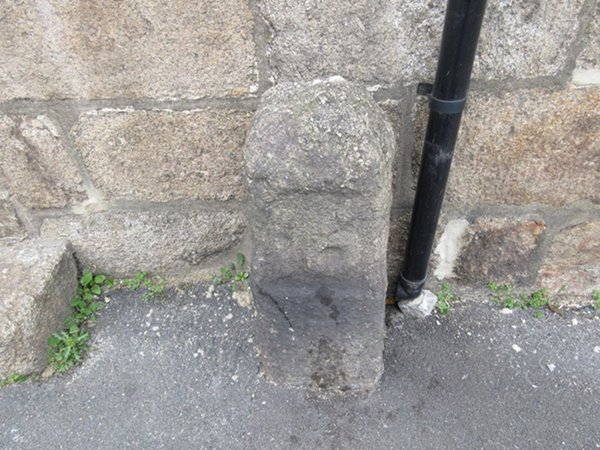
Image: © Milestone Society Taken: Unknown
Parish Boundary Marker by the UC (was A30), in parish of Penzance (Penwith District), No 8 Chyandour Cliff, main road into town centre, against wall of house, North side of road. Grade II listed. List Entry Number: 1408085 https://historicengland.org.uk/listing/the-list/list-entry/1408085 Surveyed Milestone Society National ID: CW_PZCA01apb
Images are licensed for reuse under creativecommons.org/licenses/by-sa/2.0
Image Location
Latitude
50.12461
Longitude
-5.529745