Old Boundary Marker by the B229, Clapham Mansions, Nightingale Lane
Introduction
The photograph on this page of Old Boundary Marker by the B229, Clapham Mansions, Nightingale Lane by Milestone Society as part of the Geograph project.
The Geograph project started in 2005 with the aim of publishing, organising and preserving representative images for every square kilometre of Great Britain, Ireland and the Isle of Man.

There are currently over 7.5m images from over 14,400 individuals and you can help contribute to the project by visiting https://www.geograph.org.uk
Old Boundary Marker by the B229, Clapham Mansions, Nightingale Lane
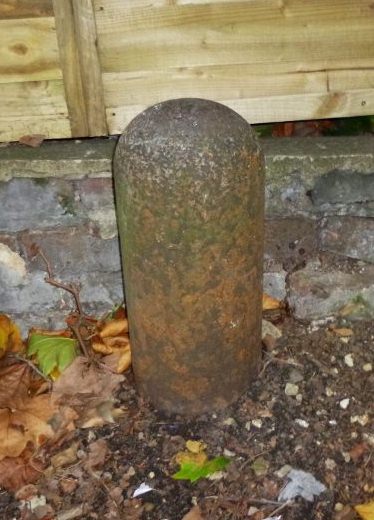
Image: © Milestone Society Taken: Unknown
Parish Boundary Marker by the B229, in parish of Battersea (Wandsworth District), Nightingale Lane SW12, Clapham Mansions, West end against boundary wall, South side of road. Grade II listed as one of a group of 13. List Entry Number: 1065560 https://historicengland.org.uk/listing/the-list/list-entry/1065560 Surveyed Milestone Society National ID: SY_BATT10pb
Images are licensed for reuse under creativecommons.org/licenses/by-sa/2.0
Image Location
Latitude
51.452815
Longitude
-0.151102