Old Boundary Marker by the B6107, Wilshaw Road, Thong Moor
Introduction
The photograph on this page of Old Boundary Marker by the B6107, Wilshaw Road, Thong Moor by Milestone Society as part of the Geograph project.
The Geograph project started in 2005 with the aim of publishing, organising and preserving representative images for every square kilometre of Great Britain, Ireland and the Isle of Man.

There are currently over 7.5m images from over 14,400 individuals and you can help contribute to the project by visiting https://www.geograph.org.uk
Old Boundary Marker by the B6107, Wilshaw Road, Thong Moor
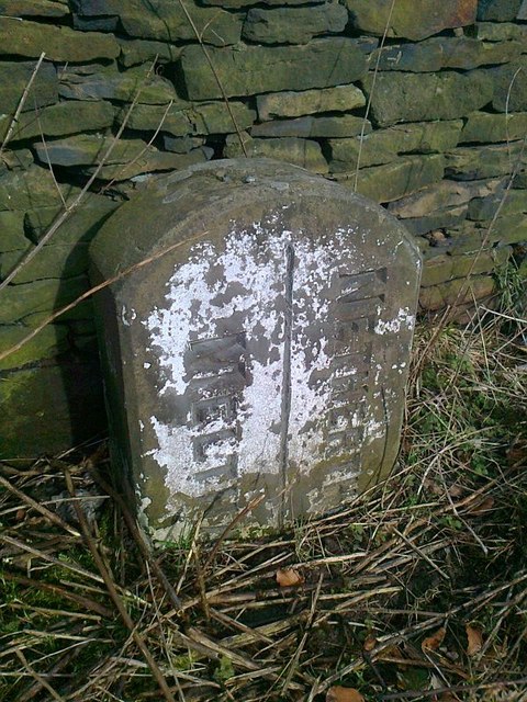
Image: © Milestone Society Taken: Unknown
Parish Boundary Marker by the B6107, in parish of Meltham (Kirklees District), Thong Moor, 50m East of junction with Bradshaw Road. Inscription reads vertically:- : MELTHAM : : NETHERTHONG : Carved bench mark and rivet on top. Grade II listed. List Entry Number: 1279054 https://historicengland.org.uk/listing/the-list/list-entry/1279054 Surveyed Milestone Society National ID: YW_MELNTH01pb
Images are licensed for reuse under creativecommons.org/licenses/by-sa/2.0
Image Location
Latitude
53.582379
Longitude
-1.814661