Old Milestone by the A709, Ryemuir Wood
Introduction
The photograph on this page of Old Milestone by the A709, Ryemuir Wood by Milestone Society as part of the Geograph project.
The Geograph project started in 2005 with the aim of publishing, organising and preserving representative images for every square kilometre of Great Britain, Ireland and the Isle of Man.

There are currently over 7.5m images from over 14,400 individuals and you can help contribute to the project by visiting https://www.geograph.org.uk
Old Milestone by the A709, Ryemuir Wood
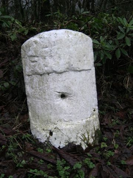
Image: © Milestone Society Taken: Unknown
Stone post by the A709, in parish of Torthowald (Nithsdale District), Ryemuir Wood, on verge of newish piece of this road. Inscription once read:- : (Lockerbie / 6½) : : (Dumfries / 6) : Surveyed Milestone Society National ID: DG_DFLB06
Images are licensed for reuse under creativecommons.org/licenses/by-sa/2.0
Image Location


Leaflet Map data © OpenStreetMap
Latitude
55.110996
Longitude
-3.493122