End of the pavement, edge of the village
Introduction
The photograph on this page of End of the pavement, edge of the village by Christine Johnstone as part of the Geograph project.
The Geograph project started in 2005 with the aim of publishing, organising and preserving representative images for every square kilometre of Great Britain, Ireland and the Isle of Man.

There are currently over 7.5m images from over 14,400 individuals and you can help contribute to the project by visiting https://www.geograph.org.uk
End of the pavement, edge of the village
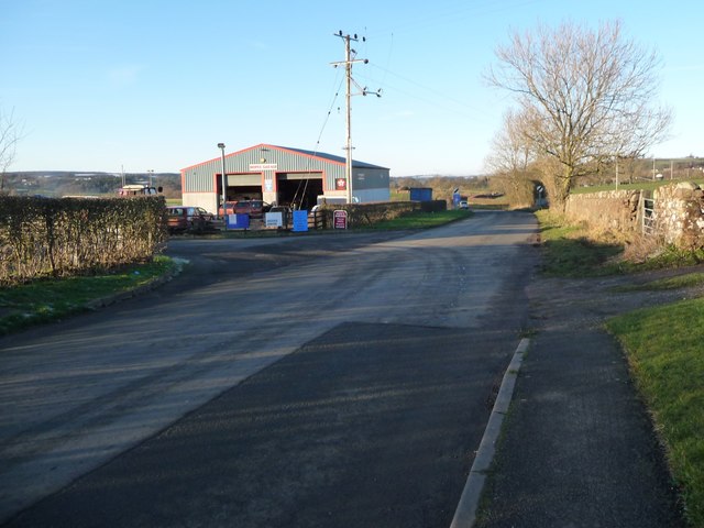
Image: © Christine Johnstone Taken: 31 Jan 2019
Salkeld Road heading north out of Langwathby, at a 101 metre spot height.
Images are licensed for reuse under creativecommons.org/licenses/by-sa/2.0
Image Location
Latitude
54.701221
Longitude
-2.673572