OS benchmark - Goginan, Llys Awel
Introduction
The photograph on this page of OS benchmark - Goginan, Llys Awel by Richard Law as part of the Geograph project.
The Geograph project started in 2005 with the aim of publishing, organising and preserving representative images for every square kilometre of Great Britain, Ireland and the Isle of Man.

There are currently over 7.5m images from over 14,400 individuals and you can help contribute to the project by visiting https://www.geograph.org.uk
OS benchmark - Goginan, Llys Awel
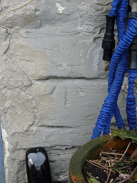
Image: © Richard Law Taken: 25 Dec 2018
An OS cutmark, rather heavily painted, on the north face of the last house going out of the village. It was probably cut in 1955, and marks a point 138.721m above Ordnance Datum Newlyn.
Images are licensed for reuse under creativecommons.org/licenses/by-sa/2.0
Image Location
Latitude
52.412407
Longitude
-3.928205