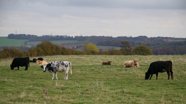
Cattle grazing in a field north of Common End
Introduction
The photograph on this page of Cattle grazing in a field north of Common End by Alan Walker as part of the Geograph project.
The Geograph project started in 2005 with the aim of publishing, organising and preserving representative images for every square kilometre of Great Britain, Ireland and the Isle of Man.
There are currently over 7.5m images from over 14,400 individuals and you can help contribute to the project by visiting https://www.geograph.org.uk

Image: © Alan Walker Taken: 2 Nov 2007
This photograph of cattle grazing was taken from a bridleway that connects Image (to the right, southerly) with the A6175 between Holmewood and Heath (to the left, northerly). The buildings in the distance (left of centre) are in Bramley Vale (an ex-mining community). On the right of the photograph in the far distance it is just possible to make out the village of Glapwell. The M1 motorway (out of shot) is in the valley running across the picture. For a northerly facing (left) photograph of the bridleway, click here Image For a southerly facing (right) photograph of the bridleway, click here Image

