View at the top of the Horseshoe Pass
Introduction
The photograph on this page of View at the top of the Horseshoe Pass by David Dixon as part of the Geograph project.
The Geograph project started in 2005 with the aim of publishing, organising and preserving representative images for every square kilometre of Great Britain, Ireland and the Isle of Man.

There are currently over 7.5m images from over 14,400 individuals and you can help contribute to the project by visiting https://www.geograph.org.uk
View at the top of the Horseshoe Pass
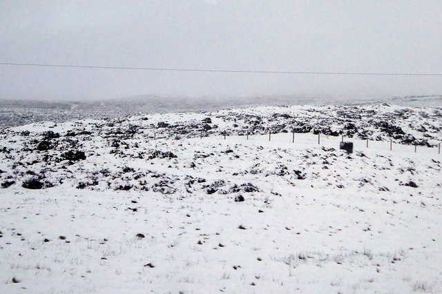
Image: © David Dixon Taken: 23 Jan 2019
A view from close to the summit of the Horseshoe Pass which separates Llantysilio Mountain to the west from Cyrn-y-Brain to the east. The road travels in a horseshoe shape around the sides of the valley, giving the pass its English name. Its Welsh name is Bwlch yr Oernant which means “Pass of the Cold Stream".
Images are licensed for reuse under creativecommons.org/licenses/by-sa/2.0
Image Location
Latitude
53.026521
Longitude
-3.20348