Old Central Cross - moved to Puncknowle churchyard
Introduction
The photograph on this page of Old Central Cross - moved to Puncknowle churchyard by Milestone Society as part of the Geograph project.
The Geograph project started in 2005 with the aim of publishing, organising and preserving representative images for every square kilometre of Great Britain, Ireland and the Isle of Man.

There are currently over 7.5m images from over 14,400 individuals and you can help contribute to the project by visiting https://www.geograph.org.uk
Old Central Cross - moved to Puncknowle churchyard
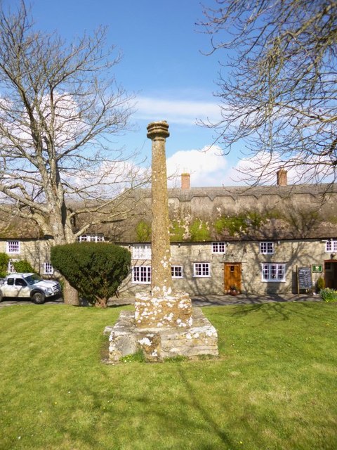
Image: © Milestone Society Taken: Unknown
Puncknowle Cross, old shaft and base by the churchyard path, in parish of Puncknowle (West Dorset District), edge of churchyard, overlooking Church Street. Grade II* Listed. List Entry Number: 1287939 https://historicengland.org.uk/listing/the-list/list-entry/1287939 Surveyed Milestone Society National ID: DOWD_PUN
Images are licensed for reuse under creativecommons.org/licenses/by-sa/2.0
Image Location
Latitude
50.695645
Longitude
-2.659489