Old Milestone (new)
Introduction
The photograph on this page of Old Milestone (new) by Milestone Society as part of the Geograph project.
The Geograph project started in 2005 with the aim of publishing, organising and preserving representative images for every square kilometre of Great Britain, Ireland and the Isle of Man.

There are currently over 7.5m images from over 14,400 individuals and you can help contribute to the project by visiting https://www.geograph.org.uk
Old Milestone (new)
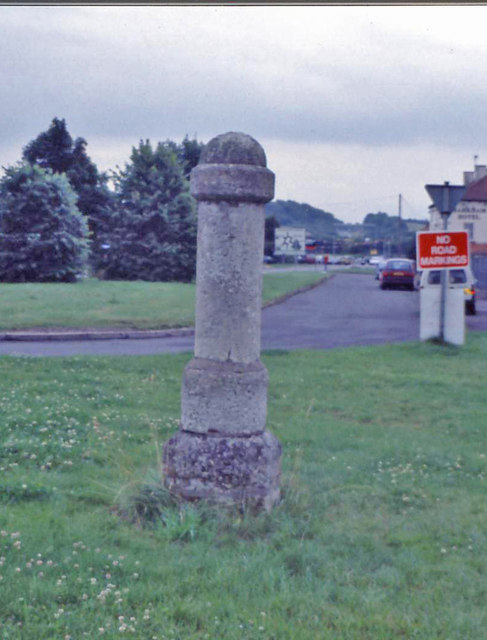
Image: © Milestone Society Taken: Unknown
Location not identified. by the B6386, in parish of Oxton (Newark And Sherwood District), opp. Main Street and Water Lane, by the road. Surveyed Milestone Society National ID: NT_OXTMM
Images are licensed for reuse under creativecommons.org/licenses/by-sa/2.0
Image Location
Latitude
53.054722
Longitude
-1.062869