Old Milestone by Carr Hill Road, Upper Cumberworth
Introduction
The photograph on this page of Old Milestone by Carr Hill Road, Upper Cumberworth by Milestone Society as part of the Geograph project.
The Geograph project started in 2005 with the aim of publishing, organising and preserving representative images for every square kilometre of Great Britain, Ireland and the Isle of Man.

There are currently over 7.5m images from over 14,400 individuals and you can help contribute to the project by visiting https://www.geograph.org.uk
Old Milestone by Carr Hill Road, Upper Cumberworth
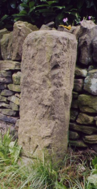
Image: © Milestone Society Taken: Unknown
By the UC road, in parish of Denby Dale (Kirklees District), Upper Cumberworth, South of A635 at junction of Carr Hill Road with Rowgate, beside white gable end, by wall. Surveyed Milestone Society National ID: YW_XCUMUP
Images are licensed for reuse under creativecommons.org/licenses/by-sa/2.0
Image Location
Latitude
53.574578
Longitude
-1.689125