Old Boundary Marker west of Sampford Spiney
Introduction
The photograph on this page of Old Boundary Marker west of Sampford Spiney by Alan Rosevear as part of the Geograph project.
The Geograph project started in 2005 with the aim of publishing, organising and preserving representative images for every square kilometre of Great Britain, Ireland and the Isle of Man.

There are currently over 7.5m images from over 14,400 individuals and you can help contribute to the project by visiting https://www.geograph.org.uk
Old Boundary Marker west of Sampford Spiney
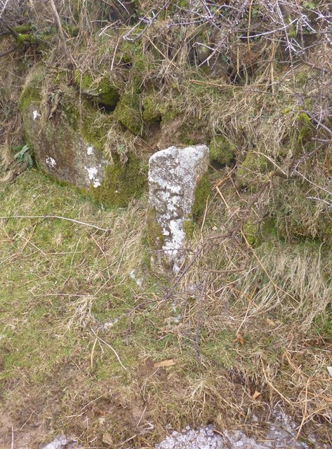
Image: © Alan Rosevear Taken: 13 Mar 2013
Parish Boundary Marker by the UC road, in parish of Sampford Spiney (West Devon District), beside the Grimstone and Sortridge Leat as it runs down from Pew Tor, carrying drinking water, opposite turn to Moortown, in bank on South side of road, just before stream turns. Surveyed Milestone Society National ID: DV_SSWC10pb
Images are licensed for reuse under creativecommons.org/licenses/by-sa/2.0
Image Location


Leaflet Map data © OpenStreetMap
Latitude
50.537238
Longitude
-4.083985