Old Milestone by the A549, Brunswick Road, Buckley
Introduction
The photograph on this page of Old Milestone by the A549, Brunswick Road, Buckley by Milestone Society as part of the Geograph project.
The Geograph project started in 2005 with the aim of publishing, organising and preserving representative images for every square kilometre of Great Britain, Ireland and the Isle of Man.

There are currently over 7.5m images from over 14,400 individuals and you can help contribute to the project by visiting https://www.geograph.org.uk
Old Milestone by the A549, Brunswick Road, Buckley
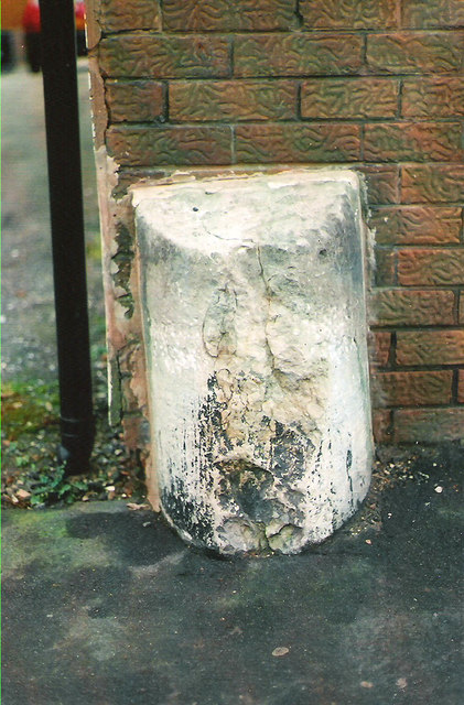
Image: © Milestone Society Taken: Unknown
By the A549, in parish of Buckley (Flintshire District), West of Buckley Christian Centre, in pavement, back to brick wall, North side of road. Inscription once read:- : (LANE END / ¼) : : (MOLD / 3) : Surveyed Milestone Society National ID: FLT_MDBK03
Images are licensed for reuse under creativecommons.org/licenses/by-sa/2.0
Image Location
Latitude
53.167411
Longitude
-3.072144