Thingoe house
Introduction
The photograph on this page of Thingoe house by Keith Evans as part of the Geograph project.
The Geograph project started in 2005 with the aim of publishing, organising and preserving representative images for every square kilometre of Great Britain, Ireland and the Isle of Man.

There are currently over 7.5m images from over 14,400 individuals and you can help contribute to the project by visiting https://www.geograph.org.uk
Thingoe house
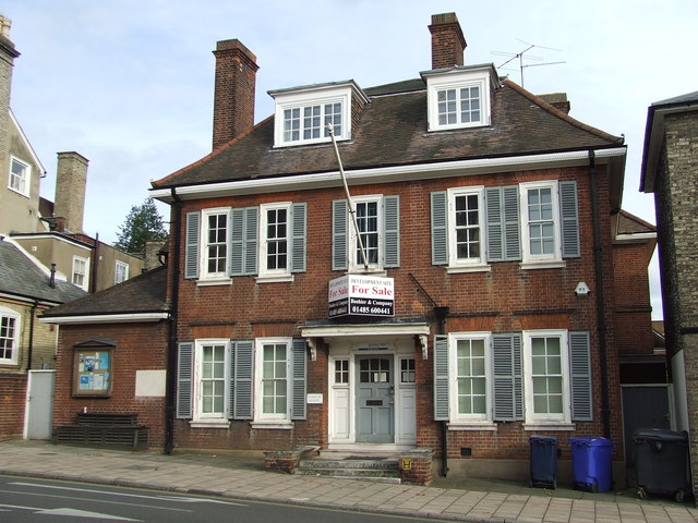
Image: © Keith Evans Taken: 4 Nov 2007
Thingoe house Northgate street Bury St.Edmunds Suffolk. This was the local council office of Thingoe Rural District Council until it ceased to exist in 1974 for photo of the plaque see http://www.geograph.org.uk/photo/604491 For info on the council see http://en.wikipedia.org/wiki/Thingoe_Rural_District
Images are licensed for reuse under creativecommons.org/licenses/by-sa/2.0
Image Location
Latitude
52.246659
Longitude
0.717122