Old Direction Sign - Signpost by the A588, Strickland's Lane, Stalmine
Introduction
The photograph on this page of Old Direction Sign - Signpost by the A588, Strickland's Lane, Stalmine by Philip Platt as part of the Geograph project.
The Geograph project started in 2005 with the aim of publishing, organising and preserving representative images for every square kilometre of Great Britain, Ireland and the Isle of Man.

There are currently over 7.5m images from over 14,400 individuals and you can help contribute to the project by visiting https://www.geograph.org.uk
Old Direction Sign - Signpost by the A588, Strickland's Lane, Stalmine
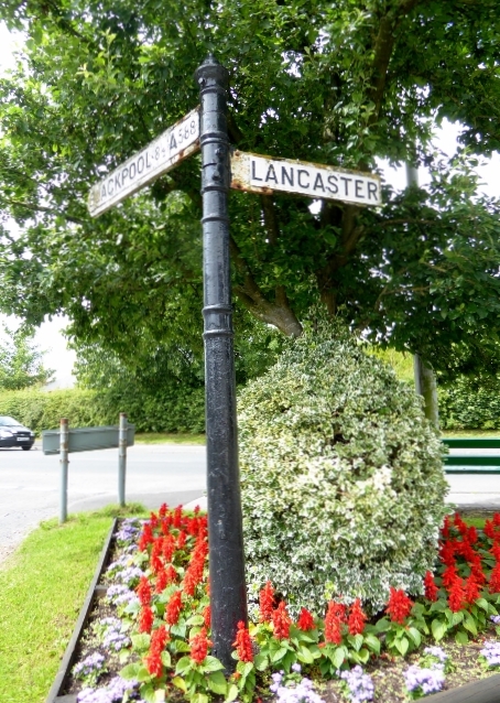
Image: © Philip Platt Taken: Unknown
Pawn finial - 2 arms; by the A588, in parish of Stalmine with Staynall (Wyre District), Junction of Back Lane and Strickland Lane at Moor End, Stalmine. Surveyed Milestone Society National ID: LA_SD3744
Images are licensed for reuse under creativecommons.org/licenses/by-sa/2.0
Image Location
Latitude
53.895966
Longitude
-2.950189