Paths by Kingskerswell Road
Introduction
The photograph on this page of Paths by Kingskerswell Road by Derek Harper as part of the Geograph project.
The Geograph project started in 2005 with the aim of publishing, organising and preserving representative images for every square kilometre of Great Britain, Ireland and the Isle of Man.

There are currently over 7.5m images from over 14,400 individuals and you can help contribute to the project by visiting https://www.geograph.org.uk
Paths by Kingskerswell Road
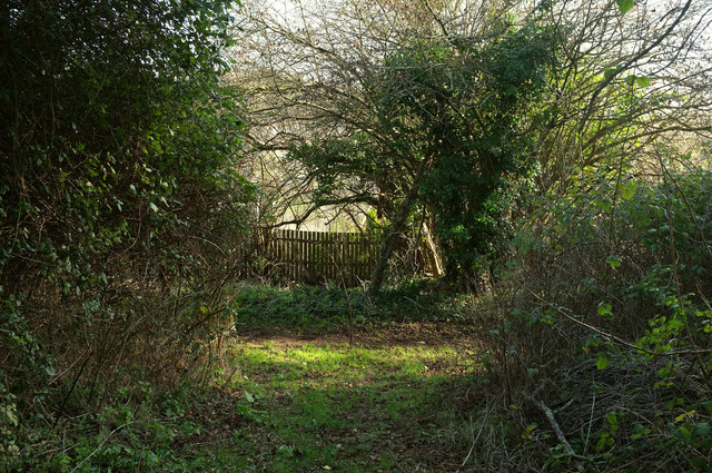
Image: © Derek Harper Taken: 28 Jan 2019
A short bit of track links, via a rickety old gate, the lane to a path running parallel, both being on top of a steep slope above The Willows estate.
Images are licensed for reuse under creativecommons.org/licenses/by-sa/2.0
Image Location
Latitude
50.490785
Longitude
-3.562075