Old Milestone by the B4328, Penrheol, Eglwyscummin Parish
Introduction
The photograph on this page of Old Milestone by the B4328, Penrheol, Eglwyscummin Parish by Milestone Society as part of the Geograph project.
The Geograph project started in 2005 with the aim of publishing, organising and preserving representative images for every square kilometre of Great Britain, Ireland and the Isle of Man.

There are currently over 7.5m images from over 14,400 individuals and you can help contribute to the project by visiting https://www.geograph.org.uk
Old Milestone by the B4328, Penrheol, Eglwyscummin Parish
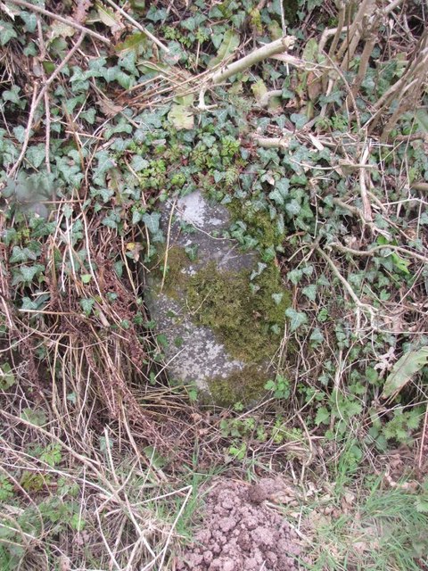
Image: © Milestone Society Taken: Unknown
By the B4328, in parish of Eglwyscummin (Carmarthenshire District), South West of Springfield Farm, Penrheol, South East side of road. Inscription once read:- : Whitland / 1 Mile 1650 Yards : : Tavernspite / 1 Mile : Surveyed Milestone Society National ID: CAM_TVWL01
Images are licensed for reuse under creativecommons.org/licenses/by-sa/2.0
Image Location
Latitude
51.794088
Longitude
-4.623302