Old Boundary Marker by the A208, Mottingham Road, Eltham Parish
Introduction
The photograph on this page of Old Boundary Marker by the A208, Mottingham Road, Eltham Parish by Milestone Society as part of the Geograph project.
The Geograph project started in 2005 with the aim of publishing, organising and preserving representative images for every square kilometre of Great Britain, Ireland and the Isle of Man.

There are currently over 7.5m images from over 14,400 individuals and you can help contribute to the project by visiting https://www.geograph.org.uk
Old Boundary Marker by the A208, Mottingham Road, Eltham Parish
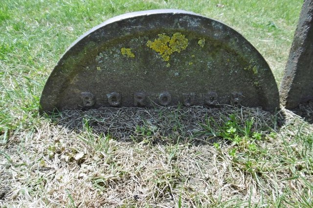
Image: © Milestone Society Taken: Unknown
Municipal Boundary Marker by the A208, in parish of Eltham (Greenwich District), Mottingham Road, at junction with William Barefoot Drive on grass open space in front of No.3 Swithland gardens. Adjacent to: KE_WOOLB02pb Image Surveyed Milestone Society National ID: KE_WOOLB03pb
Images are licensed for reuse under creativecommons.org/licenses/by-sa/2.0
Image Location
Latitude
51.427445
Longitude
0.055308