Old Direction Sign - Signpost by Stoneyford Lane, Norley Parish
Introduction
The photograph on this page of Old Direction Sign - Signpost by Stoneyford Lane, Norley Parish by Milestone Society as part of the Geograph project.
The Geograph project started in 2005 with the aim of publishing, organising and preserving representative images for every square kilometre of Great Britain, Ireland and the Isle of Man.

There are currently over 7.5m images from over 14,400 individuals and you can help contribute to the project by visiting https://www.geograph.org.uk
Old Direction Sign - Signpost by Stoneyford Lane, Norley Parish
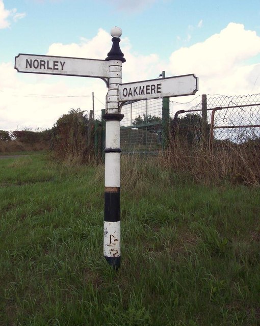
Image: © Milestone Society Taken: Unknown
Pawn finial - 2 arms; Cheshire CC post in parish of Norley (Vale Royal District), Stoneyford Lane junction with Cheese Hill Lane, near Forest View Inn. To be surveyed Milestone Society National ID: CH_SJ5771
Images are licensed for reuse under creativecommons.org/licenses/by-sa/2.0
Image Location
Latitude
53.236741
Longitude
-2.63131