Old Parish Boundary Marker by Magdalen Road, Exeter Parish
Introduction
The photograph on this page of Old Parish Boundary Marker by Magdalen Road, Exeter Parish by Alan Rosevear as part of the Geograph project.
The Geograph project started in 2005 with the aim of publishing, organising and preserving representative images for every square kilometre of Great Britain, Ireland and the Isle of Man.

There are currently over 7.5m images from over 14,400 individuals and you can help contribute to the project by visiting https://www.geograph.org.uk
Old Parish Boundary Marker by Magdalen Road, Exeter Parish
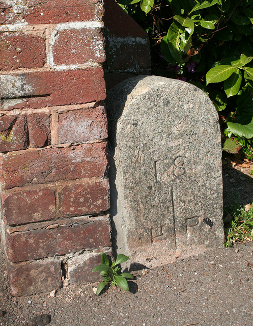
Image: © Alan Rosevear Taken: 17 Apr 2011
Parish Boundary Marker by the UC road, in parish of Exeter (Exeter District), Magdalen Road, at junction with College Avenue, at back of pavement, beside end of brick wall, North side of road. Inscription reads:- : 18 / H | P / (97 ) : Surveyed Milestone Society National ID: DV_EXHT01apb
Images are licensed for reuse under creativecommons.org/licenses/by-sa/2.0
Image Location
Latitude
50.721202
Longitude
-3.517605