Old Boundary Marker near Bridestones, Biddulph Parish
Introduction
The photograph on this page of Old Boundary Marker near Bridestones, Biddulph Parish by Milestone Society as part of the Geograph project.
The Geograph project started in 2005 with the aim of publishing, organising and preserving representative images for every square kilometre of Great Britain, Ireland and the Isle of Man.

There are currently over 7.5m images from over 14,400 individuals and you can help contribute to the project by visiting https://www.geograph.org.uk
Old Boundary Marker near Bridestones, Biddulph Parish
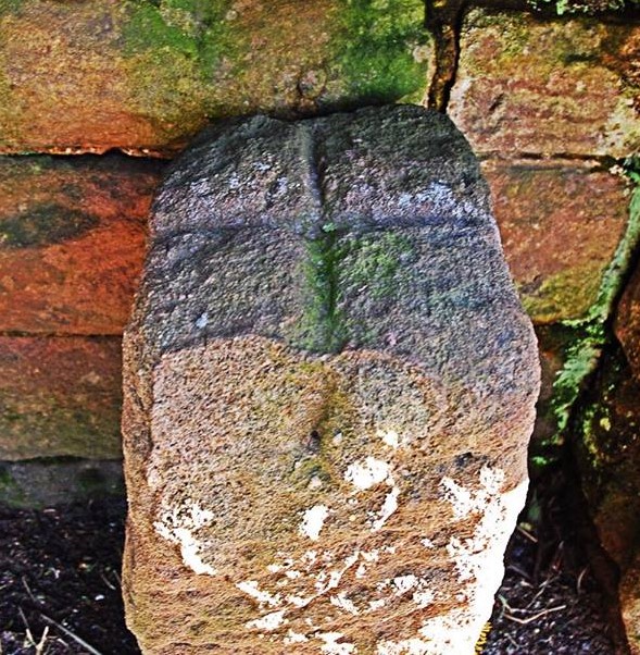
Image: © Milestone Society Taken: Unknown
Parish Boundary Marker in parish of Biddulph (Staffordshire Moorlands District), by drive to Bridestones, off Dial Lane, in recess in stone wall. To be surveyed Milestone Society National ID: ST_BIDD01pb
Images are licensed for reuse under creativecommons.org/licenses/by-sa/2.0
Image Location
Latitude
53.156576
Longitude
-2.141325