Old Boundary Marker near Scalby Beck, Newby and Scalby Parish
Introduction
The photograph on this page of Old Boundary Marker near Scalby Beck, Newby and Scalby Parish by John S Turner as part of the Geograph project.
The Geograph project started in 2005 with the aim of publishing, organising and preserving representative images for every square kilometre of Great Britain, Ireland and the Isle of Man.

There are currently over 7.5m images from over 14,400 individuals and you can help contribute to the project by visiting https://www.geograph.org.uk
Old Boundary Marker near Scalby Beck, Newby and Scalby Parish
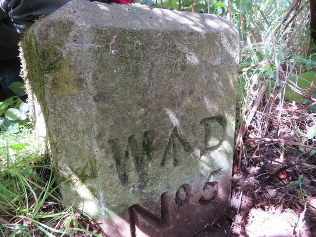
Image: © John S Turner Taken: 5 May 2017
Estate Boundary Marker - War Department in parish of Newby And Scalby (Scarborough District), alongside footpath North of Scalby Beck, in the undergrowth. Surveyed Milestone Society National ID: YN_WDNEW05em
Images are licensed for reuse under creativecommons.org/licenses/by-sa/2.0
Image Location
Latitude
54.304525
Longitude
-0.413815